Slider

slide1

Drone Structure Scan - Derelict Cottage

Detailed 3D model of and old derelict cottage in Midvale.

slide2

Small Drone Mapping 101

The Aero Scout shares his experiences with drone mapping and 3D models.

slide3

Arthur River Mt Pleasant Kitchen - 3D drone structure scan

3D model of the heritage building Mt Pleasant Kitchen in Arthur River.

slide4

Chestnut Brae - Farm planning map in Nannup

Demonstrating how drone imagery can be used as a base for effective farm planning.

slide5

Drone Structure Scan - Heritage Lighthouse

Drone structure scan of the heritage South Mole Lighthouse in Fremantle.

Land Development Site

Drone Site Scan Stockpile Volume using Drone Deploy - Image 1

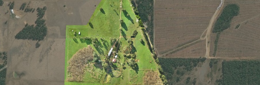
Drone Site Scan - Stockpile Volume

Drone site scan of a land development site in Caversham using a Phantom 3 4K and photogrammetry processing with Drone Deploy.

Mission Summary

  • Goal: Demonstrate effectiveness of drone scans for stockpile volume calculations and site asset monitoring.
  • Tech: DJI Phantom 3 4K, Drone Deploy
  • Conditions: Midday, sunny, moderate wind
  • Outcome: Even using manual flying (no auto waypoints) it wasn't difficult to produce an accurate, detailed map of the construction site and then interrogate for meaningful insights. 

Drone Site Scan Stockpile Volume using Drone Deploy - Image 2


Drone Site Scan Stockpile Volume using Drone Deploy - Image 3


Drone Deploy Logo

This has been another 'drone adventure' in aerial surveying, inspection and mapping by The Aero Scout.