Drone Structure Scan - Industrial Infrastructure
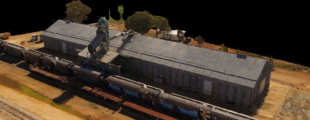
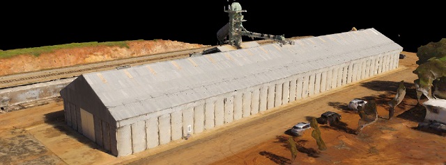
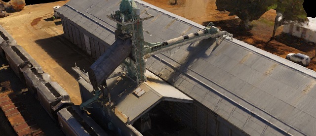
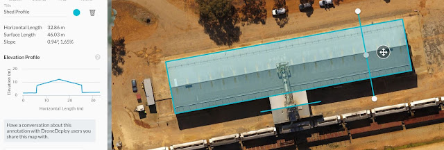
A drone structure scan of some industrial infrastructure using a Phantom 3 4K and photogrammetry processing with Drone Deploy.Mission Summary
- Goal: Drone scan grain receival depot in preparation to conduct larger scan on regional / port depot
- Tech: DJI Phantom 3 4K, Drone Deploy
- Conditions: Midday, sunny, moderate wind
- Outcome: 3x batteries and 60min of flight time has produced a detailed scan with a 1cm/pixel resolution
This has been another 'drone adventure' in aerial surveying, inspection and mapping by The Aero Scout.


